Article Summary: Alum Cave Trail at Great Smoky Mountains National Park
Often regarded as one of the premier hiking trails in the Great Smoky Mountains National Park, Alum Cave Trail affords spectacular views along a challenging climb. Despite being shrouded in clouds 75% of the time, hikers agree the trek is worth the effort.
Several landmarks along the trail include Alum Cave Creek, Arch Rock, Inspiration Point, the Alum Cave Bluffs, and the summit of Mount Le Conte. This is why the trail is so popular, particularly for summitting Mount Le Conte. No matter how far you decide to hike, this trail has something for everyone.
Read on to learn about each of these landmarks, trail difficulty, history, fun facts, safety, what you’ll see, what to bring, and more for your Alum Cave hike.
This post may contain affiliate links. If you make a purchase, I may earn a small commission at no additional cost to you. For more information, view my privacy policy.
Table of Contents
Great Smoky Mountains National Park Overview
Location: Tennessee and North Carolina
Gateway Towns: Gatlinburg, TN and Cherokee, NC
Best Airport: The closest major airports are in Knoxville and Asheville. Knoxville is about 45 miles from the park while Asheville is about 60 miles away.
Best Time to Visit: Spring for wildflowers, summer for warm weather, fall for colorful foliage, winter for moderate temperatures; the park is located in a temperate rainforest, so expect rain year-round with thunderstorms in the summer months
How to Get Around: You’ll need a vehicle to explore the park unless you reserve a seat on a shuttle from a nearby community.
Pets: While technically allowed in the park, pets are only allowed on two trails. Learn more about visiting the Smokies with pets.
Fee: There is no entrance fee. There are fees for other activities, such as camping or parking tags.
Reservations: Reservations are not required to enter the park.
Where to Stay: Gatlinburg is the closest community on the Tennessee side and has various lodging options. The primitive LeConte Lodge, accessible only by hiking, is the only lodge in the park. There are also several campgrounds in Great Smoky Mountains National Park.
When visiting our national parks and public lands, please practice Leave No Trace principles. Plan ahead, choose durable surfaces for camping or hiking, dispose of all waste properly, leave everything you find, minimize campfire impacts, respect wildlife, and be considerate of other park visitors.
Alum Cave Trail Overview
Distance: 2.45 mi (one way) to Alum Cave Bluffs*, then another 2.7 mi (one way) to the summit of Mount Le Conte
Time to Hike: Roundtrip, 3 hours for the Bluffs and 6-8 hours for Mount Le Conte
Elevation Gain: 1,200 feet to Alum Cave Bluffs, 2,763 feet to Mount Le Conte
Pets: Not permitted
*Other guides say the trail is 2.2 or 2.3 miles, but my total hike was 4.9 miles, according to my smartwatch.
Alum Cave Trail Description
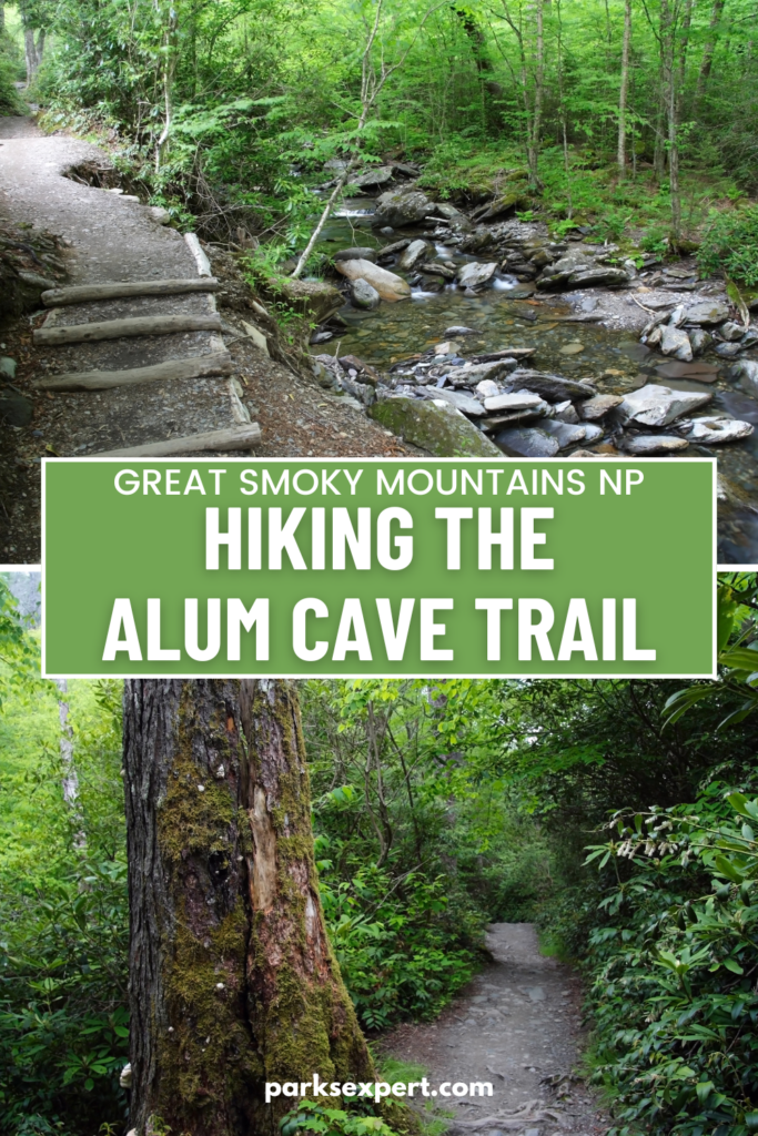
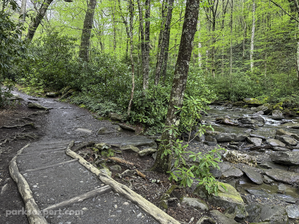
The trail begins at 3,830 feet, high in elevation for those traveling from nearby communities like Gatlinburg. The first mile is along Alum Cave Creek, a babbling brook (or raging river, depending on the time of year). This part of the trail is easy, with very little elevation change.
Follow the creek until you reach Arch Rock, a highlight of the hike that requires a steep climb up several steps. This is a good place to turn around if you want to avoid the most difficult portions of the trail.
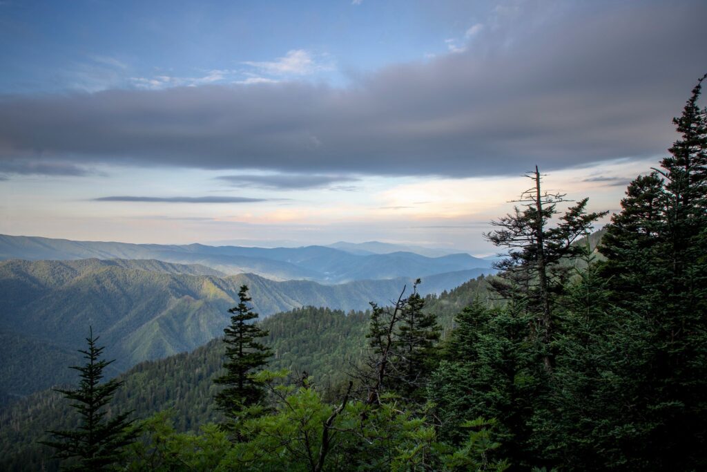
The trail is much steeper from here as you ascend to Inspiration Point. The mountain view is better here than at the Alum Cave Bluffs ahead. This is also a good spot to look for the “Eye of the Needle” on a clear day.
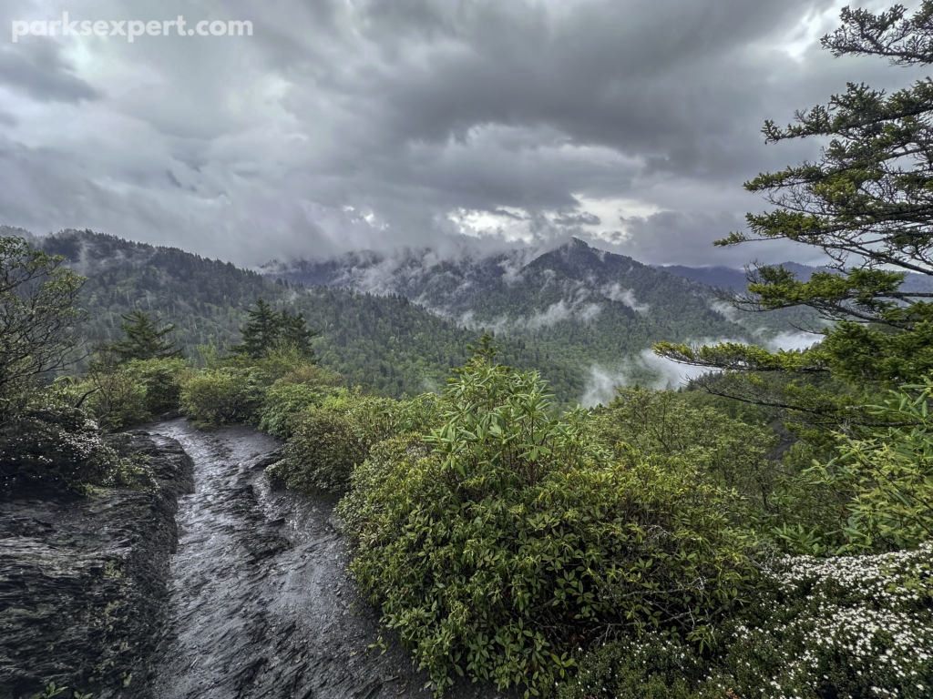
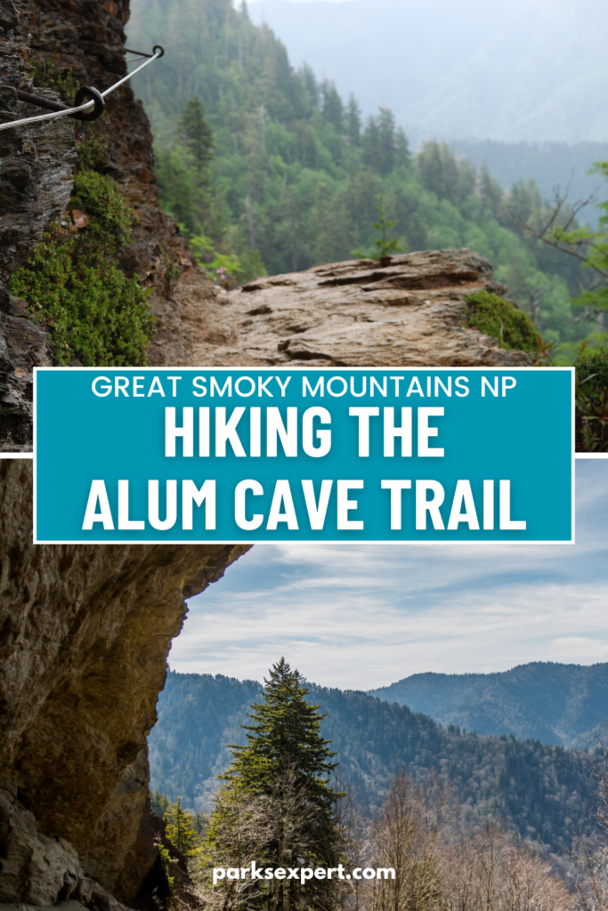
You’ll come to the Alum Cave Bluffs next (note: it’s not actually a cave). This is the perfect place to rest in the shade of an 80-foot-tall rock ledge with a nice view. It’s another good place to turn around.
The trail is even steeper beyond as you straddle ridgelines to the top of Mount Le Conte. While it is difficult, the rewards are grand. In fact, it’s one of the best trails in all national parks.
Trail Map
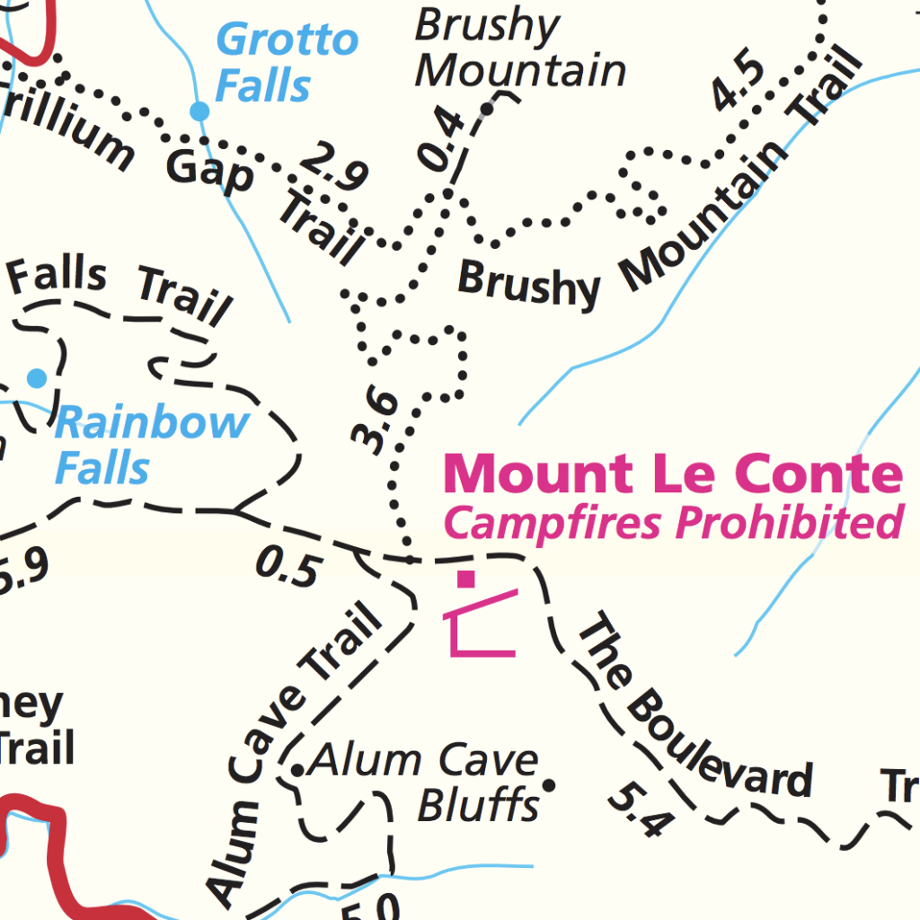
Download the entire park trail map here.

How to Get to the Alum Cave Trailhead
The Alum Cave Trailhead is 8.6 miles from the Sugarlands Visitor Center in Tennessee and 20 miles from the Oconaluftee Visitor Center in North Carolina. There are two parking areas, and a sign on the highway points the way.

Directions
The parking area and trailhead are located at 35.629060, -83.450942. You can find directions on Google Maps.
Parking at the Alum Cave Trailhead
This is one of the most popular hikes in the Great Smoky Mountains National Park, so be prepared to hike early. Otherwise, you may not be able to find a parking space.
If you can’t find a space, you may have to park in another spot on the highway and walk to the trailhead. This is quite dangerous and not recommended. If you park on the roadside, ensure all four tires are off the pavement. If you block any portion of the road, park rangers will issue a citation.
Remember, parking tags are required to park for more than 15 minutes in Great Smoky Mountains National Park.
When to Hike the Alum Cave Trail
It’s best to complete this hike from spring to fall. In winter, icy conditions can render the trail unsafe. Furthermore, icicles often form on the Alum Cave Bluffs, which could fall and result in injury or death. The trail narrows significantly between the bluffs and the summit of Mount Le Conte. Icy conditions make this terrain extremely dangerous.
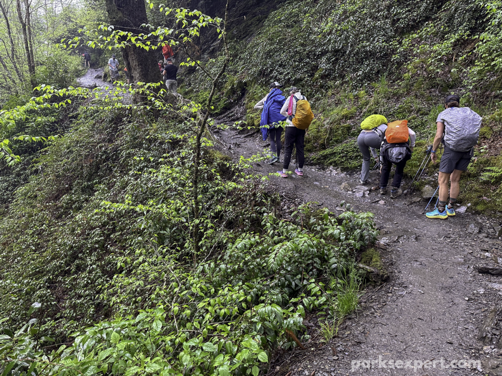
In spring and summer, expect rain and possible thunderstorms. If you hear thunder or see lightning, turn around and head back to your vehicle immediately.
It’s best to hike the trail early in the morning. This will help you secure a parking spot. If you plan to reach the summit of Mount Le Conte, starting early will help guarantee you’ll be off the trail before sunset.

My Hike to Alum Cave Bluffs
I started my Alum Cave hike on a Monday morning in early May, just before the busy season began. It was chilly and damp but not unpleasant. We arrived nice and early, around 8 am, so parking was no problem.
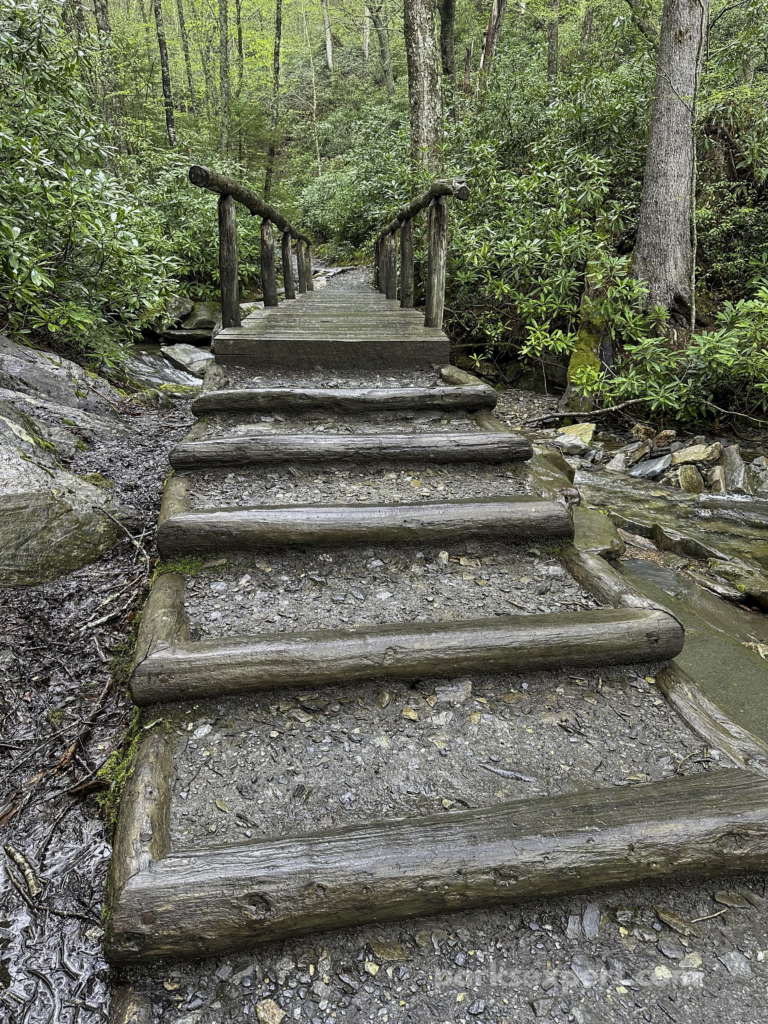
My friend and I enjoyed the first mile, strolling along the creek. The ambiance of the babbling sounds was welcomed. It was also a peaceful walk as we were some of the first hikers to arrive that morning. We didn’t encounter other hikers until we were almost to Arch Rock.
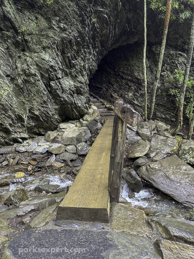
Several creek crossings are on historic wooden bridges. Most of these are quite sturdy, while others felt a bit nerve-wracking. My friend and I often wondered why there wasn’t a railing on each side of the small bridges.
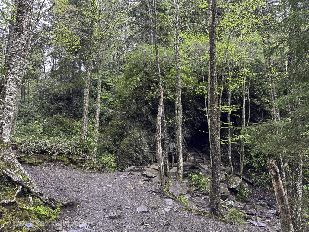
The trail starts to ascend after the final bridge crossing. Then, we found ourselves at Arch Rock. First, we were amazed at the scenery and how cool it looked from afar. As we got closer, however, we found the stairs daunting.

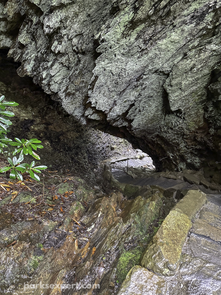
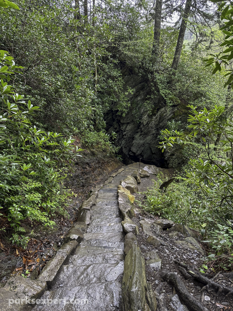
Arch Rock was formed by freezing-thawing cycles over thousands of years. These eroded away softer rock at the base to form an arch. Now, there’s a tunnel through this opening with a set of stairs for hikers.
While it was a difficult climb, it was also really exciting. Walking beneath the rock is a cool experience. It can be really slippery in addition to how steep it is, so we made sure to use the cable rails provided.
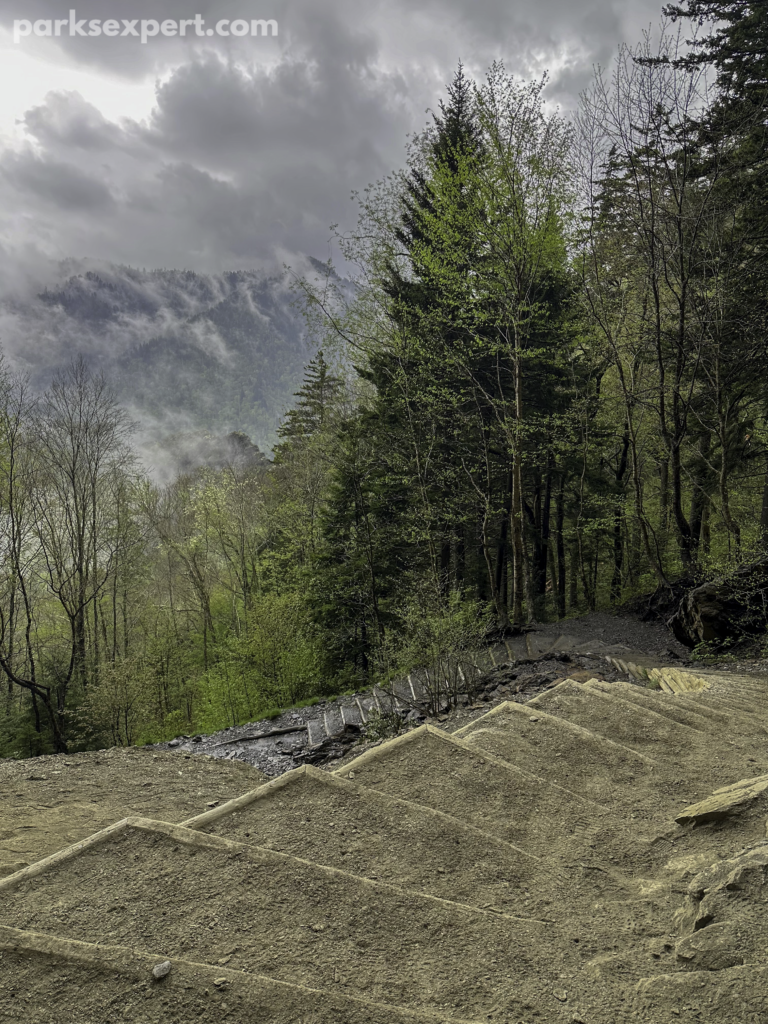
The trail ascends from this point forward. No more meandering creeksides, unfortunately. At first, the trail is similar to others in the Smokies, with bright green trees and slippery rocks along a muddy trail. However, you’ll soon be above the tree canopy. It was nice to briefly leave the dense forest to take in the rewarding views.

The view here, known as Inspiration Point, made the trail worth it for us. Although it wasn’t a clear day, we enjoyed the cloudy mountains that give Great Smoky Mountains National Park its name.
From Inspiration Point, take in the views of Little Duck Ridge and see if you can find the Eye of the Needle. This looks like a small hole in the rocky ridge before you.
The climb from here is the most difficult part of the trail to the bluffs. The stairs are so steep and slippery that the rock beside the path is embedded with steel cables. This reminded me a lot of the Precipice Trail in Acadia National Park.

The Alum Cave Bluffs area is not a cave but a concave rock that jets out above the trail. It’s still impressive at 80 feet high and 500 feet wide. The bluffs provide a nice place to relax, take a break from hiking, drink water, and have a snack. The views are nice, but the tree cover interrupts most of it. My friend and I agreed that the views from Inspiration Point were superior.
The history of Alum Cave is interesting. A lot of mining took place here, primarily for Epsom salt — something you may want to use after this hike! During the Civil War, saltpeter was mined to make gunpowder. Alum was also mined here, hence the trail name, and used as a dye.
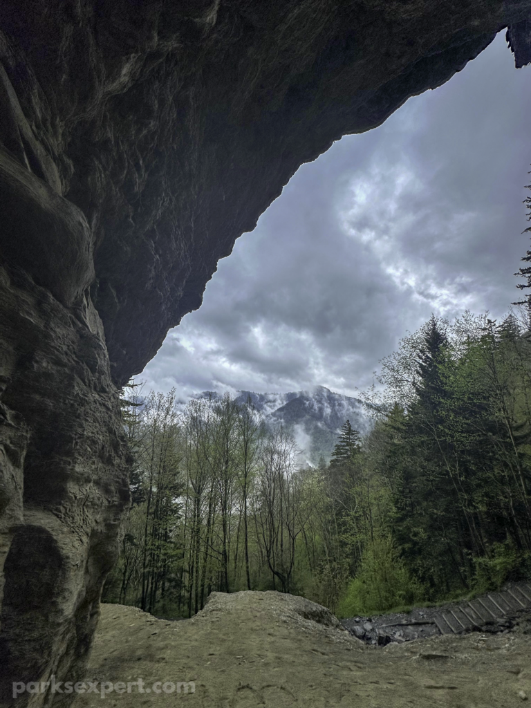
From the beginning, my friend and I knew we were only going as far as the bluffs. Even though we had enough time to continue our hike, we’d been hiking for several days and felt particularly out of shape.
This decision was for the best, as we were surprised by a thunderstorm on our return to the car. Thunder, lightning, and a torrential downpour followed us for about 2 of the 2.5 miles back. By the end, we were miserable, with cold clothes sticking to our bodies and seemingly drenching us down to our bones.

To our surprise, many hikers were beginning their trek at this time. I cannot stress enough how dangerous this is. If there is thunder and lightning, you shouldn’t be hiking! We tried to return to our car as quickly as possible to seek shelter, which is what every other hiker should have been doing.
While rainstorms are common in the park, remember that lightning can be deadly. Hiking in the rain presents challenges, like slippery paths, but lightning could end your life. Hike smart, stay safe!
Hiking Beyond to Mount Le Conte
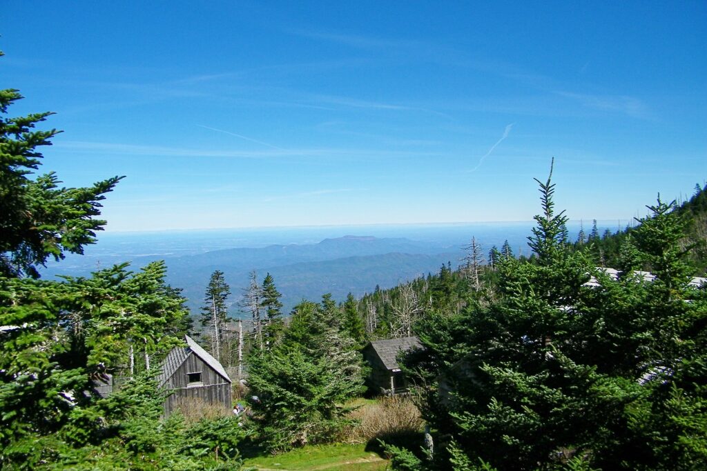
Mount Le Conte is a popular destination in the Smokies for its panoramic views and the LeConte Lodge. It’s also the third-highest peak in the park, measuring 6,593 feet at the summit. Several trails lead to the summit (known as “High Top”), but the Alum Cave Trail is the shortest and most popular.
PARKS EXPERT TIP: Check the weather at the summit before you make the climb.
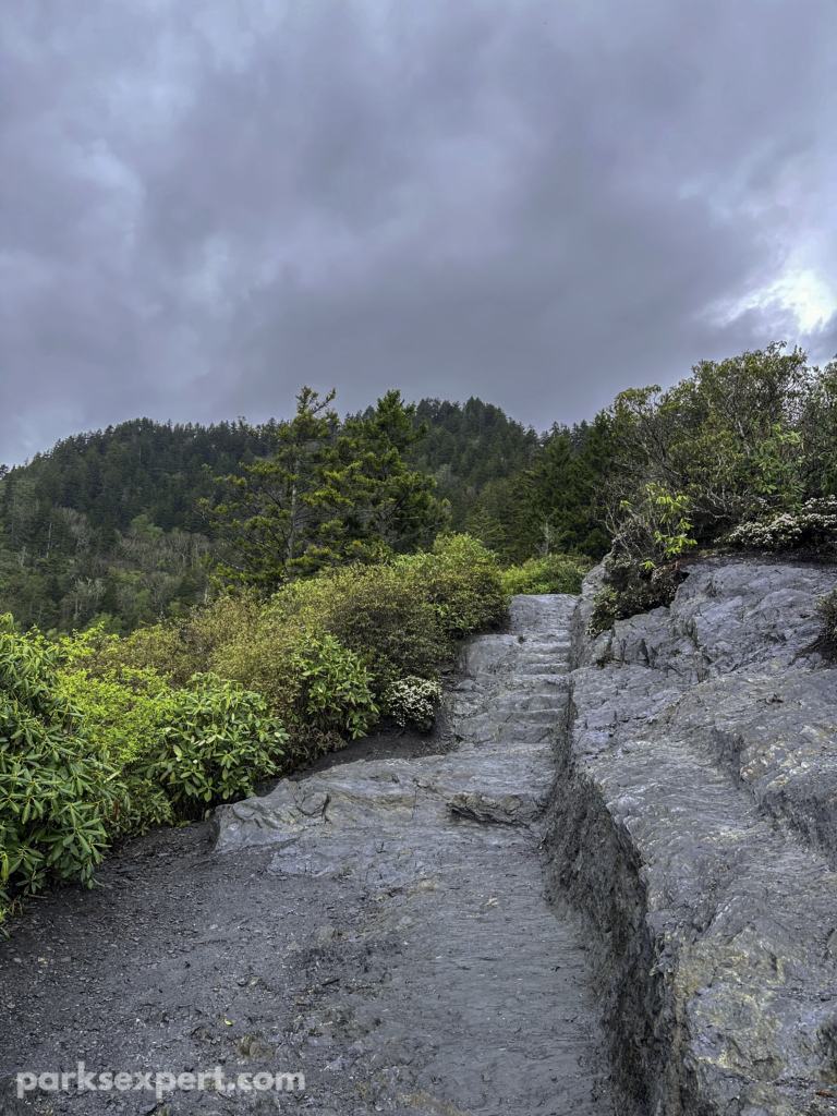
Mount Le Conte has the highest relief of any mountain east of the Rockies. Therefore, this section of the trail is strenuous and gains 1,000 feet in elevation. If you choose to continue, prepare for a challenge.
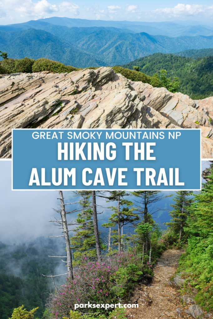
That said, you can also prepare for spectacular views. This portion of the hike also features some steep drop-offs. If you have a fear of heights, this may not be a good section for you to complete.
FUN FACT: Who was Le Conte? There is actually quite the debate over which member of the Le Conte family the peak was named for. Many consider it to be for the geologist Joseph Le Conte. Others believe it is his older brother, John, a physicist.
This section is also particularly dangerous if it’s windy, rainy, or icy. You are exposed as you walk narrow, rocky ridgelines. Use the provided cables to hang on tight.

LeConte Lodge is on the summit, a great place to relax and stop for a snack or lunch while you enjoy the marvelous views. The summit is so tall that it’s often shrouded in clouds, but the hazy view is still something to remember. If you’re hoping for clear weather, try hiking in spring or fall as early in the day as you can.
LeConte Lodge does not have electricity, so expect a rustic experience. Visitors who aren’t staying at the lodge are not allowed to use the restrooms. Five trails lead to LeConte Lodge: Rainbow Falls, Boulevard, Bullhead, Trillium Gap, and Alum Cave.
FUN FACT: LeConte Lodge is the highest lodge in the eastern United States. Despite being the only permanent lodging structure in the park, it’s only accessible by foot. All supplies are hauled in by llama!

Once you complete the trail, you can check out several viewpoints. This does require more walking, but it’s much easier! Remember to factor in the additional mileage and time into your day.
High Top is the true summit, but the tree cover surrounding it significantly limits your view. It’s easy to miss High Top as it isn’t marked with any signs. Instead, look for the large cairn (rock pile). It’s fairly unceremonious. The lodge staff encourages you to add a rock to the cairn so the summit can be considered higher than Clingmans Dome. I consider this to go against Leave No Trace practices and do not recommend it.

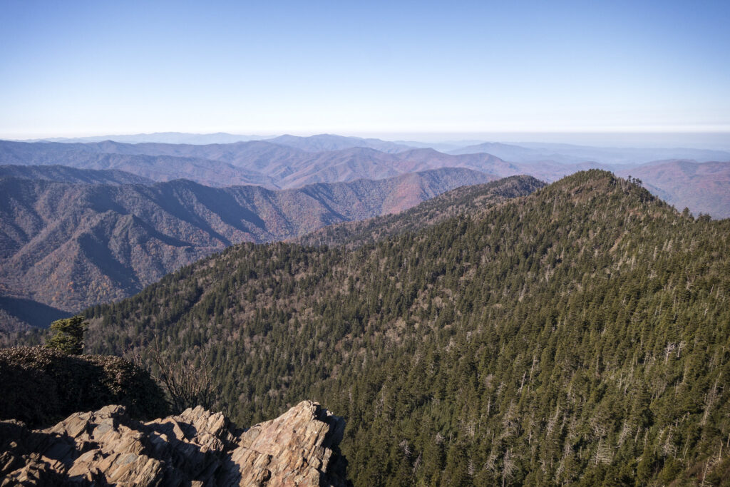
Myrtle Point is on the east, and Cliff Top is on the west. Cliff Top is the most popular, but Myrtle Point is often regarded as the prettiest. You can access both on the Boulevard Trail.
By staying at LeConte Lodge, you can view sunrise from Myrtle Point and sunset from Cliff Top for an even more remarkable view.
What to Bring On Your Alum Cave Hike
This trail is rocky and becomes extremely slippery when wet. Even if it hasn’t rained, water from the creeks could make it treacherous. Make sure you wear comfortable, sturdy hiking boots with good traction.
Rain jackets are essential for any Great Smoky Mountains National Park hike. The environment is a temperate rainforest, and it rains often. Sometimes, it rains suddenly, even when the weather report doesn’t include it.
With that, I also recommend a hiking pack with a rain cover. My backpack didn’t have one, and as I had discussed, we got caught in a storm. My DSLR camera, battery, and lens were destroyed.
I recommend carrying plenty of layers since you’ll cover a huge elevation change on this trail. The top of the mountain could be 20 degrees cooler than the bottom!
There’s no water on the trail, so fill your water bottles before you start your day.
In addition to these necessities, you should always carry the ten hiking essentials:
- Navigation systems: map, compass, and/or GPS
- Sun protection: sunscreen and/or ballcap
- Insulating layers: synthetic or down jacket, rain jacket, hat, gloves, and leggings
- Illumination (flashlight or headlamp)
- First-aid kit
- Something to light a fire: lighter, waterproof matches, and/or fire starter
- Repair kits and tools: pocket knife, duct tape, screwdriver, and/or scissors
- Emergency shelter: tent, bivy, tarp, and/or space blanket
- Nutrition: food for both meals and snacks
- Hydration: water bottle, water treatment (LifeStraw or SteriPen), and water
Where to Stay
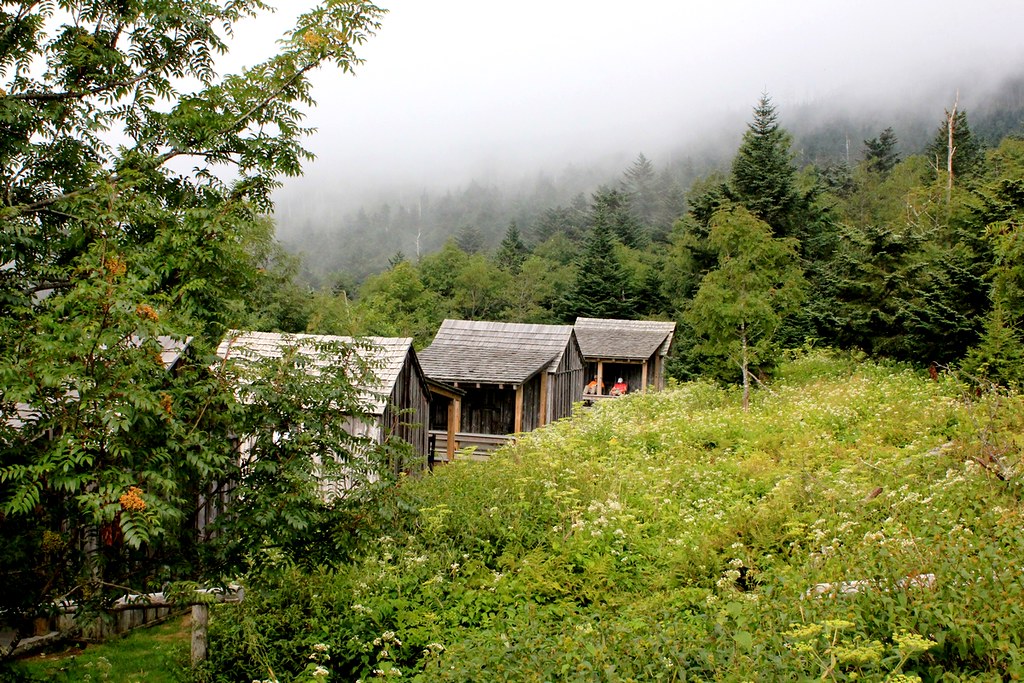
LeConte Lodge is an obvious choice for where to stay on your Alum Cave hike. However, you’ll need to make reservations well in advance. Reservations are typically open the year before your scheduled trip in the early fall season.
Outside the park, Gatlinburg is the closest community on the Tennessee side and has various lodging options.
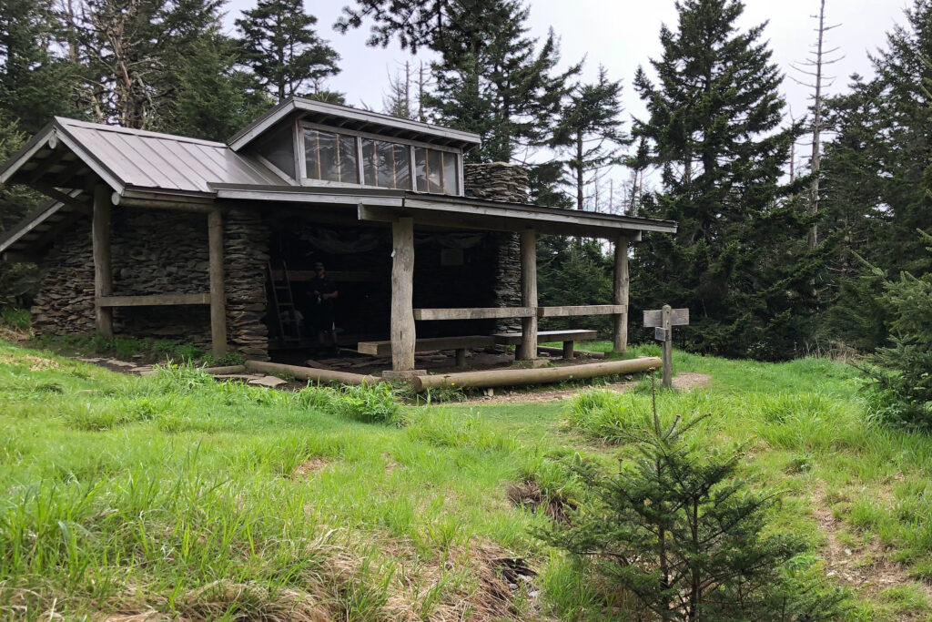
There are also several camping options. Of all the campgrounds in Great Smoky Mountains National Park, Elkmont and Smokemont are the closest. With a backcountry permit, you could also stay at the rustic shelter atop Mount Le Conte.
Pin Our Guide to the Alum CAve Hike and Mount Le Conte
We hope you found this guide helpful! We’d love to hear about your trip to Alum Cave or Mount Le Conte. Did you get caught in bad weather? Did you stay at the LeConte Lodge?