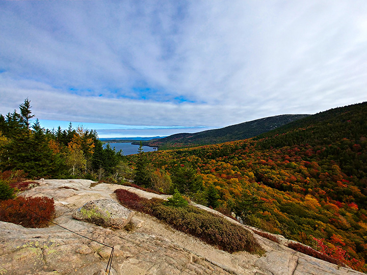
There are over 155 miles of hiking trails in Acadia National Park, and all of them are spectacular.
The trails may lead you to rocky ocean shorelines, through deciduous and coniferous forests, or to granite mountaintops. Some of the best hikes in Acadia National Park include all three.
No matter what you’re hoping to see, Acadia’s trails have something for everyone.
I’m calling these the best hikes in Acadia National Park because many involve hiking on multiple trails. Upon studying a map of Acadia, you’ll quickly learn that the park is a maze of hiking trails and carriage roads. If you’re looking for a scenic adventure, you’re visiting the right park.
Below, I’ve detailed the best hikes in Acadia National Park. I lived in the area for some time, and these were some of the hikes I enjoyed most. That being said, it’s hard to find a hike in Acadia that won’t take your breath away.
This post may contain affiliate links. If you make a purchase, I may earn a small commission at no additional cost to you. For more information, view my privacy policy.
Table of Contents
Things To Know Before Hiking in Acadia
Look for Bates Cairns
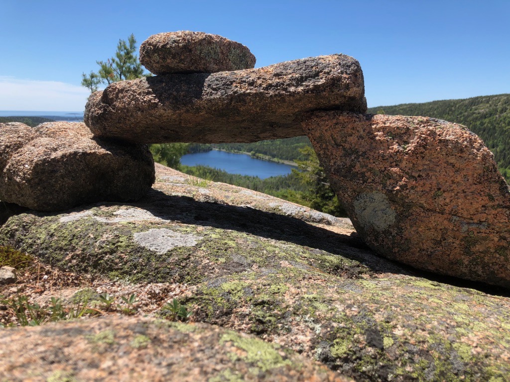
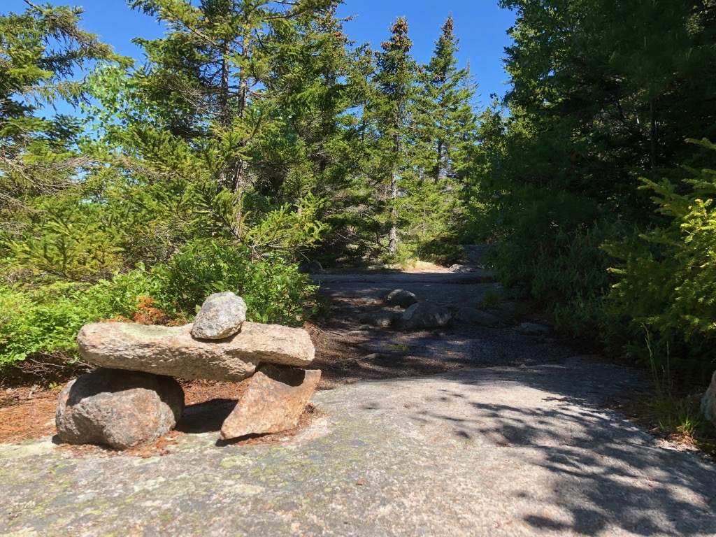
Since many of Acadia’s mountains are seemingly endless granite landscapes, many of the trails are marked by traditional Bates Cairns. Look for these as you hike to find your way.
For this reason, it’s also important to follow a few rules in regards to cairns:
- Don’t build your own.
- Don’t dismantle the historic Bates Cairns or add to them.
Bates Cairns are known for one crucial characteristic: the rock on top is meant to point in the direction of the trail.
Follow the Blue Blazes

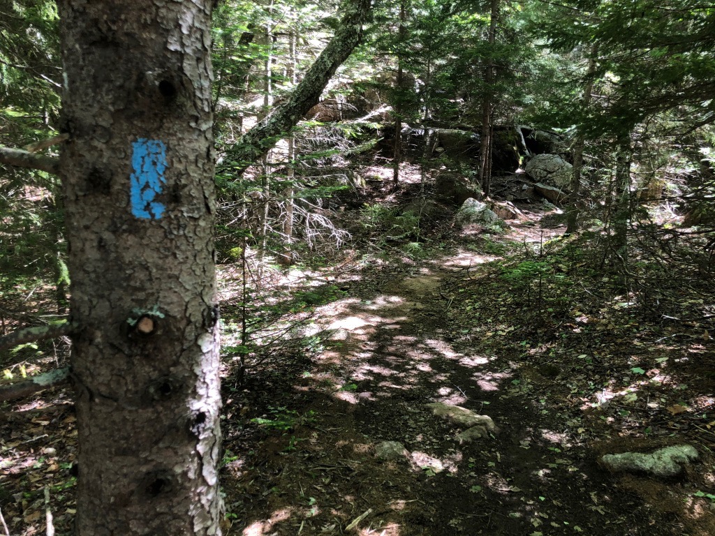
Trails on granite and trails through the woods are also marked by blue blazes. Every trail in Acadia is blue, there are not a variety of colors, so don’t assume you’re on the right trail based on its color.
You may see blue blazes on trees as well as granite rocks, so if you’re wondering which way the trail goes, don’t forget to look up or down.
Schoodic and Isle au Haut Trails
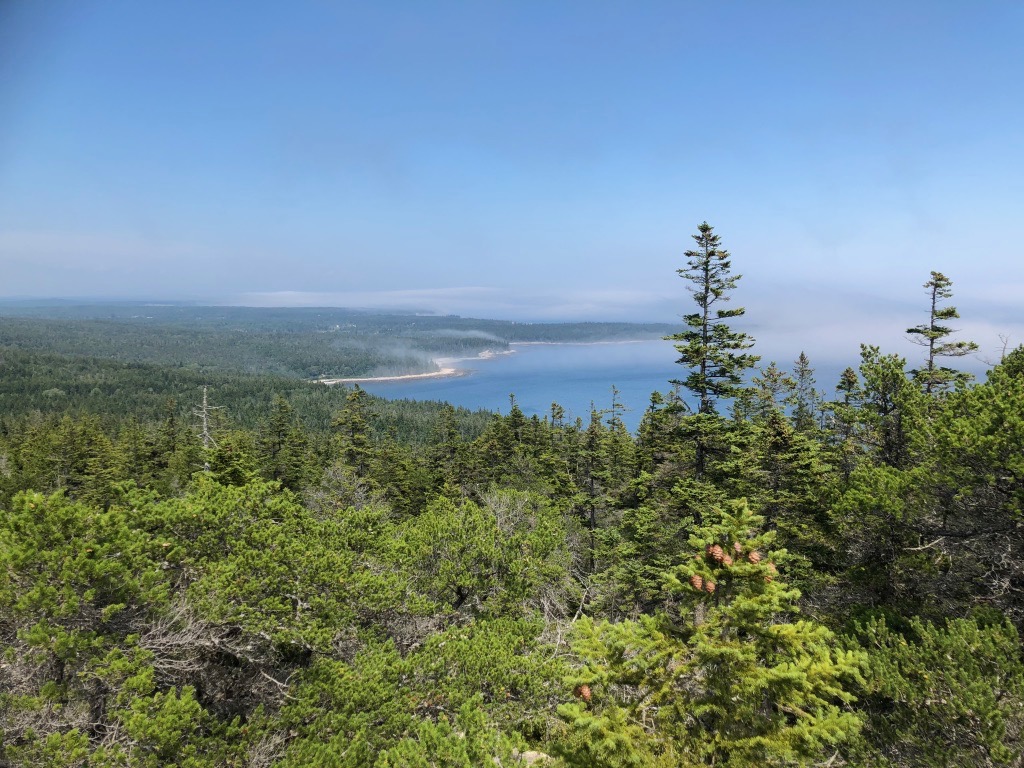
The trails below can all be found in the main part of Acadia National Park – Mount Desert Island. However, there are other districts to explore as well. Check out the trails on the quieter Schoodic Peninsula and another island, Isle au Haut.
Parking and the Island Explorer
Parking is extremely limited! In order to hike the best trails in Acadia National Park, I strongly encourage parking at the Hulls Cove Visitor Center or the Acadia Gateway Center in Trenton and taking the Island Explorer. This is a free bus service that runs all over Mount Desert Island. You can view the ten different routes here to plan your trip.
What to Wear Hiking in Acadia National Park
For more suggestions, read my posts on my favorite outdoor gear and the best daypacks for women.
The 10 Hiking Essentials
Every hiker should always carry the ten essentials with them. These include:

-
- Navigation systems: map, compass, and/or GPS
- Sun protection: sunscreen and/or ballcap
- Insulating layers: synthetic or down jacket, rain jacket, hat, gloves, and leggings
- Illumination (flashlight or headlamp)
- First-aid kit
- Something to light a fire: lighter, waterproof matches, and/or fire starter
- Repair kits and tools: pocket knife, duct tape, screwdriver, and/or scissors
- Emergency shelter: tent, bivy, tarp, and/or space blanket
- Nutrition: food for both meals and snacks
- Hydration: water bottle, water treatment (LifeStraw or SteriPen), and water
More from Acadia National Park

Acadia National Park Phone Case
Acadia National Park Map

Fodor’s Guide to the 63 National Parks

Women’s National Parks Checklist T-Shirt

Women’s National Parks Checklist T-Shirt

Map of National Parks T-Shirt
Acadia National Park Sticker
Acadia National Park Pin
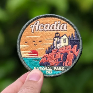
Acadia National Park Patch

63 National Parks Water Bottle
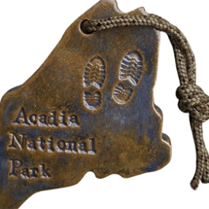
Acadia National Park Hiking Medalion
Acadia National Park Pennant
Acadia National Park Pin

Acadia National Park Candle

Acadia National Park Sweatshirt
Acadia National Park Mug

Acadia National Park Tote Bag
Acadia National Park Ornament

Acadia National Park Sweatshirt
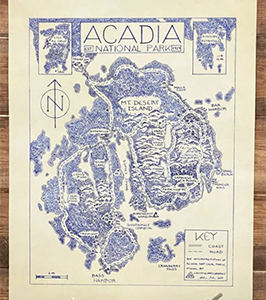
Acadia National Park Hand-drawn Map

Acadia National Park Seascape Artwork

Acadia National Park Sweatshirt
Acadia National Park Poster
Acadia National Park T-Shirt
Hiking Acadia Guidebook

Acadia Ornament
Acadia National Park Sticker

Acadia National Park Candle

Acadia Scrapbooking Kit

Acadia National Park Cross Stitch Kit
Best Hikes in Acadia National Park
The hikes below are organized from easiest to most difficult. For more trails in Acadia National Park, visit the park’s official website. If you’re visiting the park and looking for other activities, check out my posts on the best things to do in Acadia and everywhere you should stop on the Park Loop Road.
Jesup Trail – Hemlock Road Loop
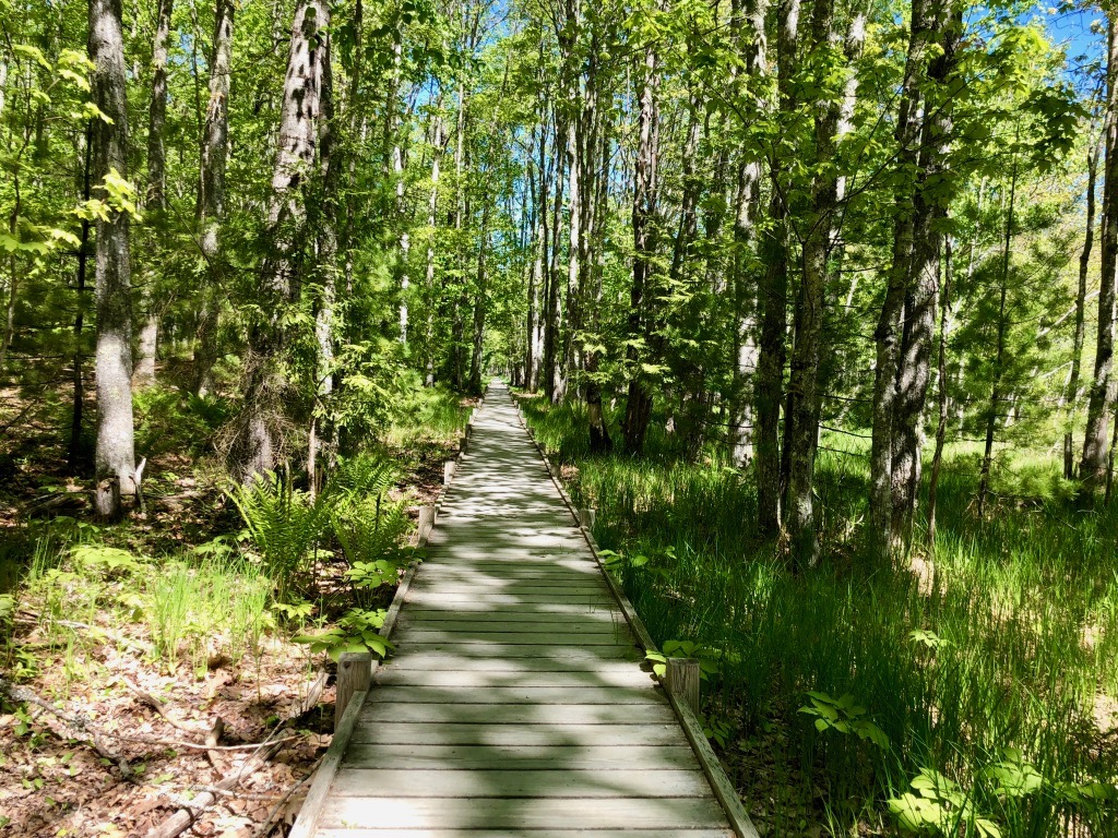
Featuring an iconic boardwalk, this loop is one of the best hikes in Acadia National Park for birdwatching or easy strolling. This is due to the trail scaling the edge of Great Meadow, the perfect location for warblers, woodpeckers, and more.
For a historic take on the hike, follow the Great Meadow Trail from Park Street in Bar Harbor and walk to Sieur de Monts (a 4.2-mile out-and-back hike). This was a popular jaunt for the early rusticators who first brought tourism to the area.
For a shorter extension, continue on Hemlock Road to meet the Hemlock Path and form a figure 8 (creating a 1.5-mile loop).
Sieur de Monts is also considered the heart of Acadia National Park. George Dorr, commonly referred to as the “Father of Acadia”, birthed the idea of a National Park from this spot.
There are plenty of attractions in the area, including the Abbe Museum (which focuses on the Native American history in the area) and the Wild Gardens of Acadia (where you’ll find a variety of native plants).
Difficulty: Easy
Distance: 1 mi / 0.6 km round-trip
Elevation Gain: 9 ft / 3 m
Estimated Time: 30-60 minutes
Type of Trail: Loop
Trailhead Location: Sieur de Monts parking area
Ship Harbor
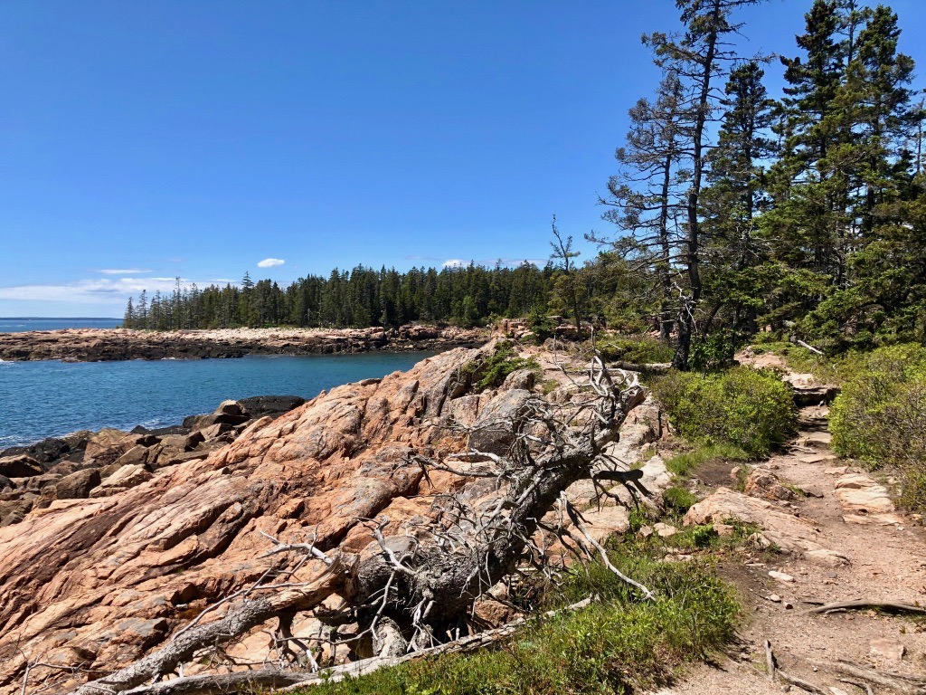
This Figure-8 trail takes you along the ocean and through the woods. One of the best hikes in Acadia National Park, it showcases some of the area’s best features: hidden coves, rocky coastline, and beautiful forest.
The first loop will take you along the cove if you veer to the right followed by a walk along the ocean. This is a great place to hop off-trail and onto the rocks to try some tidepooling (make sure it’s low tide!). Once you complete the second loop, veer right again to follow the first loop through the spectacular forest.
Difficulty: Easy
Distance: 1.3 mi / 2.1 km round-trip
Elevation Gain: 65 ft / 20 m
Estimated Time: 30-60 minutes
Type of Trail: Loop
Trailhead Location: Ship Harbor parking area
Bar Island
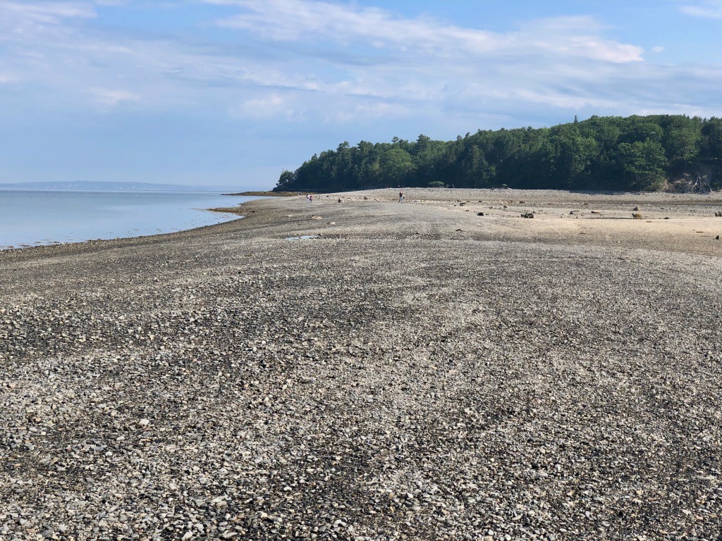
For a few hours each day, the low tide exposes a gravel bar that leads to Bar Island from Bridge Street in downtown Bar Harbor. One of the best hikes in Acadia, I’d also call this one of the most unique hikes in all of America’s national parks.
Timing is everything on this trail. Make sure you read the tide chart, as tides change daily. People have been stranded on Bar Island before due to high tide covering the only path back to Bar Harbor.
For this reason, driving or parking on the bar is also not recommended. You have about 1.5 hours on either end of low tide, giving you three hours to complete the trail and explore the gravel bar.
It’s worth noting that parking can be limited in Bar Harbor. It is also metered, so be prepared to pay for parking.
Difficulty: Easy
Distance: 1.5 mi / 2.4 km round-trip (including the bar and the trail on the island)
Elevation Gain: 170 ft / 52 m
Estimated Time: 1.5 hours
Type of Trail: Out and back
Trailhead Location: End of Bridge Street in Bar Harbor
Wonderland
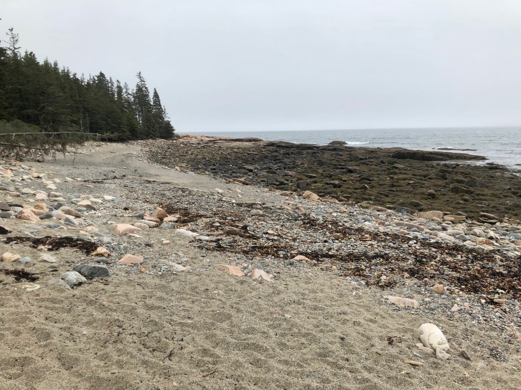
Similar to the neighboring Ship Harbor Trail, Wonderland takes you through the forest until you reach “wonderland”: the shore.
In my opinion, this is one of the best hikes in Acadia National Park because it leads to excellent tidepooling and ocean views. The sand won’t be as pristine as Sand Beach on the other side of the island, but the rocky vistas are worth the easy stroll.
Difficulty: Easy
Distance: 1.6 mi / 2.6 km round-trip
Elevation Gain: 78 ft / 24 m
Estimated Time: 30-60 minutes
Type of Trail: Out and back
Trailhead Location: Wonderland parking area
Bass Harbor Head Light

One of the most well-known attractions in Acadia is the Bass Harbor Head Lighthouse. Recently acquired by the National Park Service, the lighthouse was owned and operated by the U.S. Coast Guard until July 2020. While you cannot go in the lighthouse, one trail does lead to it with signs detailing its significance.
Another trail takes you down a set of wooden stairs to a short path above the rocky shoreline. If you’re feeling adventurous, go off-trail and climb the boulders down to the sea for the best views of the lighthouse.
The parking lot here is extremely small, so I would plan ahead if you plan on visiting this crowded attraction. It’s particularly busy around sunrise and sunset. Due to the narrow road leading to the parking area, no RVs or vehicles pulling trailers are permitted.
Difficulty: Moderate
Distance: 0.4 mi / 0.6 km round-trip
Elevation Gain: 62 ft / 19 m
Estimated Time: 30-60 minutes
Type of Trail: Out and back
Trailhead Location: Bass Harbor Head Light parking area
Jordan Pond Path
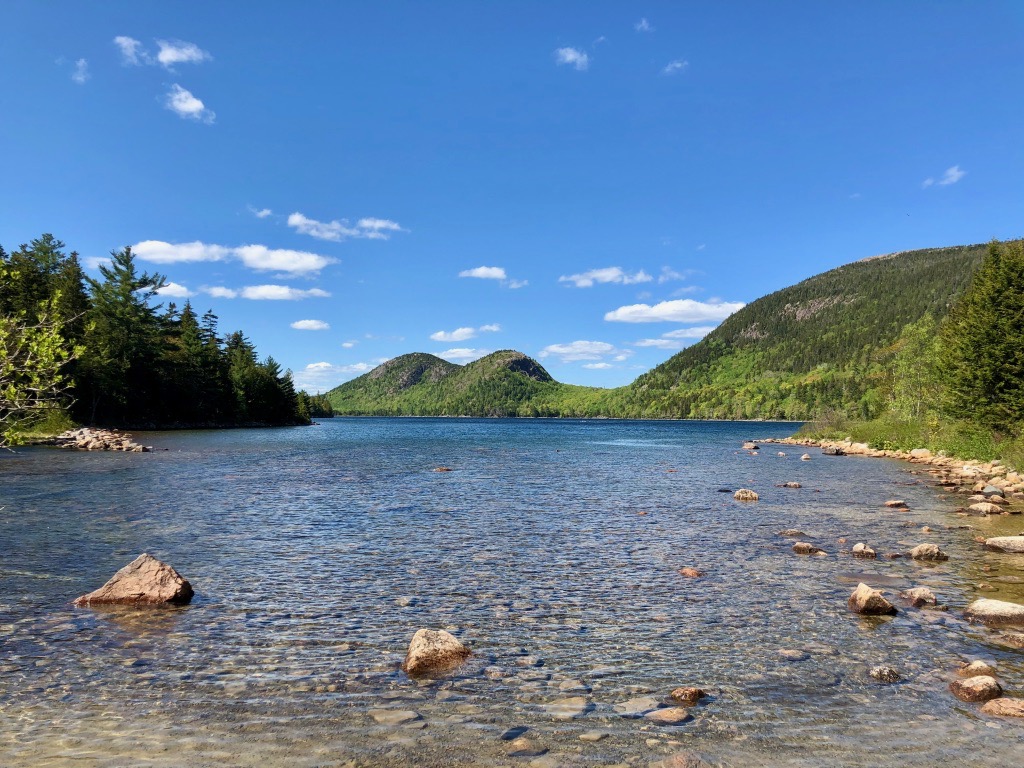
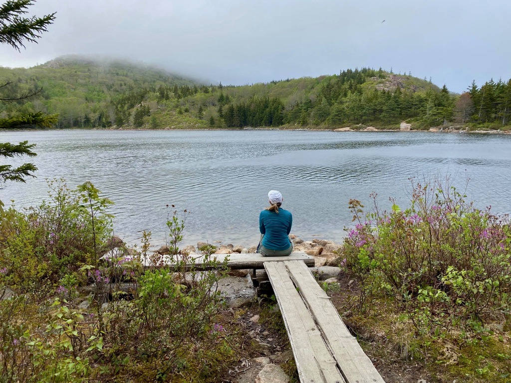
Another one of Acadia’s best trails is the loop around Jordan Pond. The area is known for many iconic spots: Jordan Pond House (serving tea and popovers on the lawn), carriage roads (built by John D. Rockefeller, Jr. and gifted to the park), and the Bubbles (the two rounded mountains at the north end of the lake). Keep reading for information on climbing the Bubbles, another one of the best hikes in Acadia.
The west side of the Jordan Pond Path is packed down gravel while the east side requires a bit more balancing. You’ll walk on split wooden logs for this section. There’s also a very short stretch of bouldering on the west side. Because of that terrain, the trail is rated moderate.
Another option is to hike along the carriage roads above the path. This allows for similar packed-down gravel that you’ll find on the west side.
Note: There are two parking lots for Jordan Pond. One is reserved for restaurant and gift shop patrons only. The other, known as the North Lot, is north just a few hundred yards and is reserved for hikers, bicyclists, and kayakers. These lots fill up quickly; I recommend arriving early.
Difficulty: Moderate
Distance: 3.3 mi / 5.3 km round-trip
Elevation Gain: 95 ft / 29 m
Estimated Time: 2-3 hours
Type of Trail: Loop
Trailhead Location: Jordan Pond North Parking Lot
Great Head
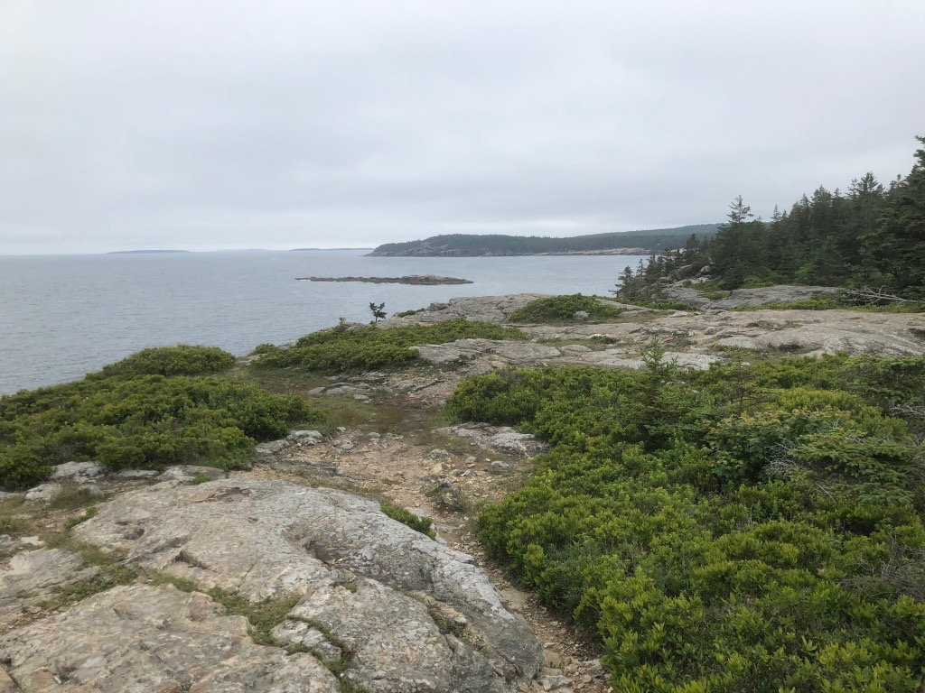
For another hike with spectacular ocean views, consider the Great Head Trail. This trail is one of the best hikes in Acadia for its varied terrain and history in addition to the scenery.
You can start your hike from the Great Head parking lot off of Schooner Head Road or from Sand Beach, one of the top things to see in Acadia. You can complete the hike as a figure-8 or one large loop.
Portions of the trail include rock scrambling, so expect to use your arms and legs to complete the trail. There are no iron rungs or ladders to assist you as there are on some of the trails on this list. Like the easier Ship Harbor trail, you’ll find yourself walking between forested ecosystems as well as the rugged Maine coastline.
Difficulty: Moderate
Distance: 1.8 mi / 2.9 km round-trip
Elevation Gain: 265 ft / 81 m
Estimated Time: 1.5-2 hours
Type of Trail: Loop
Trailhead Location: Sand Beach or parking area on Schooner Head Road
Beech Mountain

If you’re hoping to reach the summit of one of Acadia’s 26 peaks, Beech Mountain may be the easiest. It’s a great hike if you’re hoping for the reward of beautiful views with minimal effort.
From the Beech Mountain parking area, you’ll find four separate trailheads. Find the one for the Fire Tower, a 1.2-mile loop that takes you to the only Fire Tower still standing in Acadia and the summit of the 840-foot peak. The western side of this loop is also a spectacular spot for sunset.
If you’re interested in more challenging hikes to the summit, start from the bottom of Beech Mountain at either Echo Lake or Long Pond.
Difficulty: Moderate
Distance: 1.2 mi / 1.9 km round-trip
Elevation Gain: 347 ft / 106 m
Estimated Time: 1.5 hours
Type of Trail: Loop
Trailhead Location: Beech Mountain parking area
The Bubbles & Bubble Rock
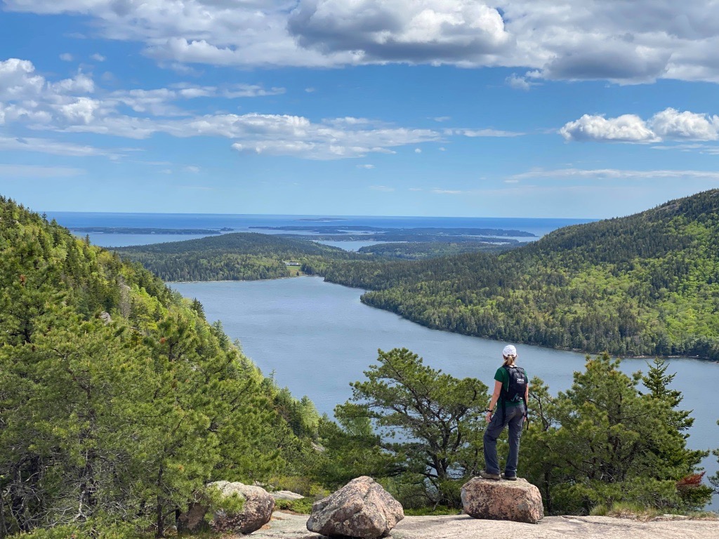
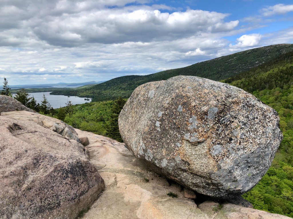
The Bubbles are an iconic piece of Acadia National Park, acting as caps to the beloved Jordan Pond. From the Bubbles parking area, reaching the top of both rounded peaks is do-able in just a few hours.
I recommend starting with the North Bubble, which is a bit steeper and more challenging. There are quite a few stairs as well. You also get a great look over Jordan Pond from this spot.
Then, continue over to the South Bubble and take the standard photos at Bubble Rock. Weighing ten tons, this glacial erratic is known for being precariously perched. Thousands of visitors each year “attempt” to push it off the mountain for photos.
Your views from South Bubble are primarily dominated by Eagle Lake rather than Jordan Pond.
If you choose to descend the South Bubble to Jordan Pond, note that the trail is very steep and considered strenuous.
Difficulty: Moderate
Distance: 1.5 mi / 2.4 km round-trip
Elevation Gain: 495 ft / 151 m
Estimated Time: 1.5 hours
Type of Trail: Out and back
Trailhead Location: The Bubbles parking area
Gorham Mountain – Ocean Path Loop

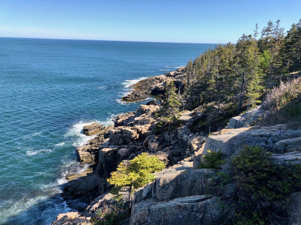
This is one of the best hikes in Acadia National Park as well as one of the most popular loops to complete. In a short time, you could hike to the top of a mountain and celebrate by relaxing on the beach. This unique possibility is one of my favorite things about Acadia National Park.
You can park at Sand Beach, Gorham Mountain, or Otter Point to complete this loop.
The Ocean Path is a one-way trail from Sand Beach to Otter Point while the Gorham Mountain Trail begins about halfway between those two points.
Only park at Otter Point if you plan to walk the entire Ocean Path. That being said, the portion from Gorham Mountain to Otter Point is my favorite.
The climb up Gorham Mountain is moderate with a few historic stairways characteristic to hiking in Acadia. By connecting with The Bowl Trail, you’ll descend to the Sand Beach parking area and can walk back to your vehicle along the Ocean Path, an easy walk on the shoreline.
Periodically, you’ll find places along the Ocean Path to venture off-trail on the rocks to get a great look at the coast and some of the Park Loop Road’s most famous features, such as Sand Beach and Thunder Hole.
Difficulty: Moderate
Distance: 3.1 mi / 5 km round-trip
Elevation Gain: 597 ft / 182 m
Estimated Time: 2-3 hours
Type of Trail: Loop
Trailhead Location: Sand Beach or Gorham Mountain parking area
Sargeant Mountain

Sargent Mountain is the second-tallest peak and one of the best hikes in Acadia National Park. There are multiple ways to reach the summit, including this route from the Parkman Mountain parking area. Along the way, you’ll climb Parkman Mountain (with an optional side trip to Bald Peak) as you ascend on the Grandgent Trail to the Sargent Mountain ridge for expansive views of Eagle Lake and islands off the coast of Mount Desert Island.
Another option is the less popular Maple Spring Trail, which takes you along a few of the carriage roads and could even lead to the famous Waterfall Bridge on your way up. Furthermore, the Giant Slide Trail is another popular option.
Difficulty: Moderate
Distance: 4.2 mi / 6.6 km round-trip
Elevation Gain: 1,466 ft / 447 m
Estimated Time: 3-4 hours
Type of Trail: Out and back
Trailhead Location: Parkman Mountain parking area
Cadillac Mountain: North or South Ridge
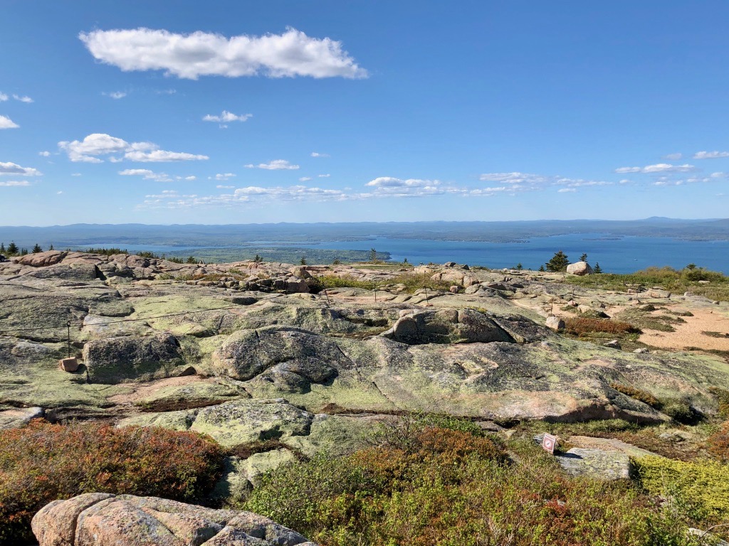
Cadillac Mountain rises above Acadia National Park at 1,530 feet. It’s the tallest in the park and the tallest on the eastern seaboard (north of Rio de Janeiro). There are many ways to reach the top, but the North and South Ridge are the most popular routes.
Many people hike these to see the Cadillac Mountain sunrise without reservations.
The North Ridge is the shortest of the two and a bit steeper. While ascending, the peak of Cadillac haunts you the entire way to the top. Parking is extremely hard to find for this trail. I highly recommend taking the Island Explorer.
Difficulty: Moderate
Distance: 4 mi / 6.4 km round-trip
Elevation Gain: 1,118 ft / 341 m
Estimated Time: 3-4 hours
Type of Trail: Out and back
Trailhead Location: There are a few pullouts near the trailhead on the Park Loop Road; the trail does not have its own parking area.
Personally, I prefer the Cadillac South Ridge Trail and believe it’s one of the best hikes in Acadia National Park. It’s much more gradual and a bit quieter than the shorter North Ridge. Plus, on the descent, you get incredible views of the ocean to the south.
Difficulty: Moderate
Distance: 7.5 mi / 12 km round-trip
Elevation Gain: 2,247 ft / 685 m
Estimated Time: 4-5 hours
Type of Trail: Out and back with a small loop on the Canon Brook Trail (strenuous)
Trailhead Location: Blackwoods Campground
Beehive Trail – Bowl Trail Loop

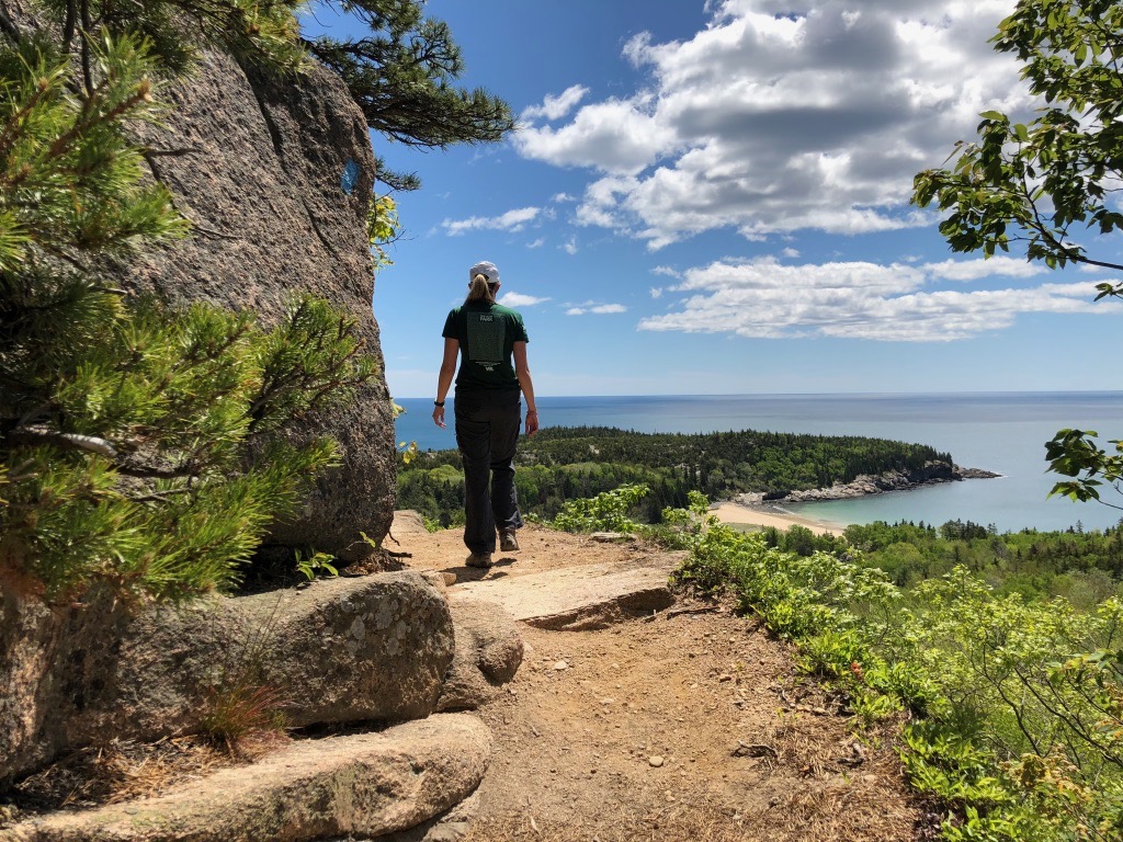
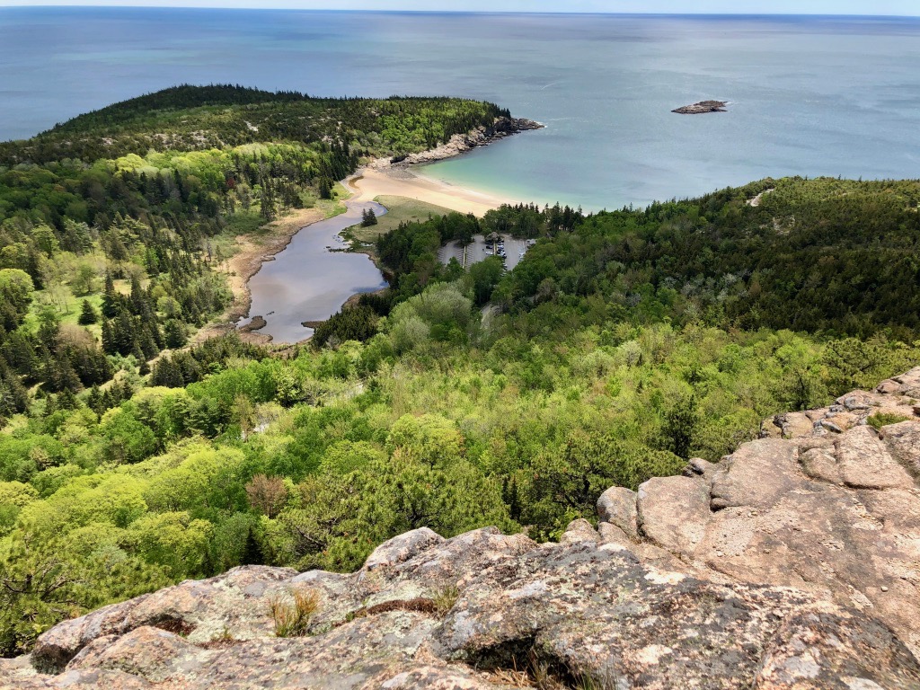
Acadia National Park is famous for its iron run and ladder trails, including the Beehive. The Beehive Trail is considered one of the best hikes in Acadia because it can be done all summer long while many other ladder trails close due to nesting Peregrine Falcons.
The Beehive is also only 520 feet tall, making it one of the shorter ladder trails you’ll find in Acadia. The rung and ladder portion is only about 1/2-mile.
Note: This trail is not for anyone scared of heights. It’s also extremely dangerous in wet or icy conditions, so do not hike it in winter or after rainfall. Do not hike this trail with dogs or small children. Do not descend on the iron ladders; take The Bowl trail back to Sand Beach.
Difficulty: Strenuous
Distance: 1.4 mi / 2.3 km round-trip
Elevation Gain: 488 ft / 149 m
Estimated Time: 1.5-2 hours
Type of Trail: Loop
Trailhead Location: Sand Beach
Precipice Trail – Orange & Black Loop

The Precipice Trail is the most famous trail in Acadia National Park, and also the most difficult. You’ll climb iron rungs, ladders, and boulders for about 1 mile. Compared to the Beehive Trail above, expect larger steps and more challenging stretches to get to the top.
This trail is typically closed from mid-March to mid-August for nesting Peregrine Falcons.
While this is one of the best hikes in Acadia, it is also one of the most dangerous. Do not hike this trail without proper footwear, in wet or icy conditions, or if it is closed. Small children should not complete this trail. Dogs are also not permitted.
It is also important to only use the iron ladders to reach the top – do not take them down! To get back to the Park Loop Road, create a loop with the Orange-and-Black and Champlain North Ridge trails. For a longer hike, consider the Champlain South Ridge – another one of my favorites.
Difficulty: Strenuous
Distance: 2.1 mi / 3.4 km round-trip
Elevation Gain: 1,049 ft / 320 m
Estimated Time: 2-3 hours
Type of Trail: Loop
Trailhead Location: Precipice Trail parking area
Pin the Best Hikes in Acadia National Park