Article Summary: Closest Airports to Zion National Park
Are you wondering how to get to Zion National Park? There are several routes to take and airports to fly into. In this post, we’ll dive deep into the closest airports, best highways, and itineraries to help plan your visit to Zion National Park.
You can get to Zion National Park by flying or by car. The closest airports to Zion National Park are Saint George Regional, Cedar City Regional, Harry Reid International, and Salt Lake City International. If you prefer to drive, you’ll be mesmerized by the scenery along Highways 9 and 89.
Cities near Zion National Park include Springdale, Hurricane, La Verkin, St. George, and Cedar City.
Read on to learn more about how to get to Zion National Park, including more details about the best airports to fly into and the most scenic highways to drive.
This post may contain affiliate links. If you make a purchase, I may earn a small commission at no additional cost to you. For more information, view my privacy policy.
Table of Contents
Zion National Park Overview
Location: Utah
Gateway Town: Springdale
Best Airport: The closest major airport is Las Vegas. We always find the best flights on Expedia.
Best Time to Visit: Spring and Fall
How to Get Around: Parking is limited, so it’s recommended to take the Zion Shuttle. If you’re planning to drive through the Zion-Mt. Carmel Tunnel, make sure you review the restrictions.
Pets: Pets are only allowed on the Pa’rus Trail. Owners should note that there are cyanobacteria present in park rivers, which is unsafe for animals. Pets are not allowed in park waters.
Fee: 7-day passes are available for vehicles for $35, motorcycles for $30, or pedestrians for $20. We highly recommend purchasing an annual pass for $80, which grants you access to every national park in the country. Learn more about national park entry fees.
Reservations: You don’t need reservations to enter the park or take the shuttle. Reservations are required for a permit to hike Angels Landing. Zion camping reservations are recommended.
Where to Stay: In Springdale, I’ve personally stayed in the La Quinta and the Zion Canyon Lodge. I recommend both very highly. If you’d like to stay within the park boundaries, check out the Zion Lodge. For more options, browse Expedia.

Where is Zion National Park?
Zion National Park is located in southwest Utah near the border with Arizona and Nevada.
There are quite a few cities and towns close by. Zion is about 45 minutes from St. George, 2.5 hours from Las Vegas, and 4.5 hours from Salt Lake City. Springdale is the gateway town and has most of the amenities you’ll need for your trip.
Other national parks nearby include Bryce Canyon, Capitol Reef, Canyonlands, and Arches. Visiting all five? Check out my Utah National Parks road trip itinerary.
Airports Closest to Zion National Park
Saint George Regional Airport
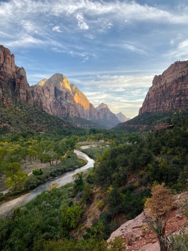
The closest airport to Zion National Park is Saint George Regional Airport (SGU), about 45 minutes from the park.
It has limited commercial flights but is serviced by Delta, American, United, and Allegiant Airlines. You can connect from bigger airport hubs such as Denver and Phoenix.
Cedar City Regional Airport
Next is the Cedar City Regional Airport, about 1 hour away. It only has daily flights from Salt Lake City. Delta Airlines is the only carrier that services this airport.
Harry Reid International Airport (Las Vegas)
The closest major airport with several domestic and international flights is Harry Reid International Airport (LAS) in Las Vegas. Most airlines service this airport and arrive from all over the world.
Las Vegas is centrally located within 300 miles of 20 national parks! This includes Zion, which is about 2.5 hours away.
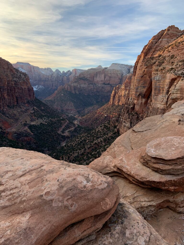
When visiting Zion National Park, this is the airport we choose to fly into. Not only is it the easiest and often cheapest, but it’s also the most scenic drive. Las Vegas is the perfect starting point for a Southwest National Parks road trip.
Salt Lake City International Airport
Another airport nearby to Zion National Park is Salt Lake City International (SLC). This is the furthest airport on this list, about 3.5 hours away from Zion.
This is a good option for visiting the other national parks in Utah or heading north to Yellowstone and Grand Teton.
Zion National Park Trip Planning Resources
Parks Expert Guide to Zion National Park
Best Hikes in Zion National Park
What You Should Know Before Hiking The Narrows in Winter
4 Ways to Spend One Day in Zion National Park
All About Hiking Angels Landing
Zion National Park Camping Guide: Everything You Should Know About Camping in Zion
Zion Shuttle: How to Plan a Stress-Free Trip
Best Roads to Take to Zion National Park
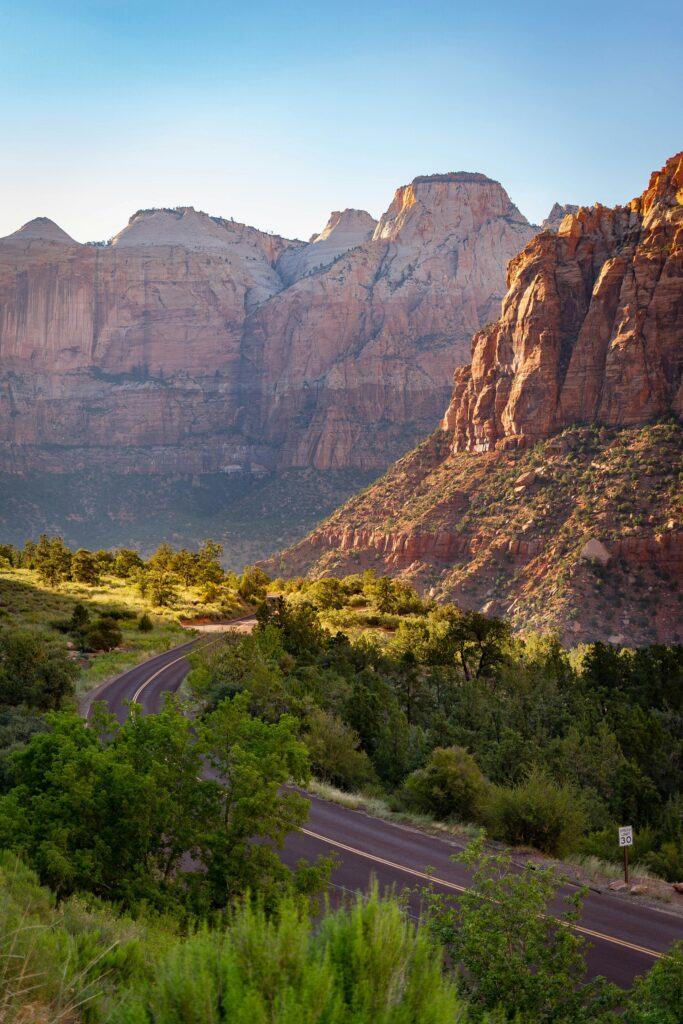
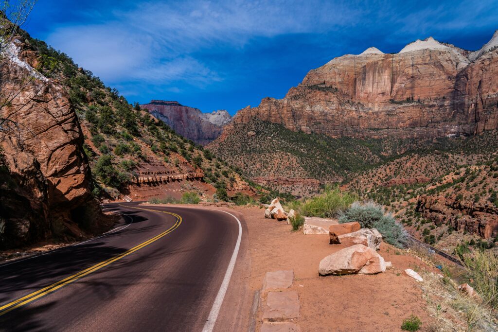
To be honest, there is no ugly way to drive into Zion National Park. Immersed in the beautiful scenery the area has to offer, you can’t go wrong. Here are details on each.
Highway 9 from St. George
Highway 9 travels from the west side of Zion (Springdale) to the east side (Mt. Carmel).
If you’re coming from Interstate 15, you’ll take exit 16 from the interstate to transition to Highway 9. The route will lead you through a few small towns including Hurricane (pronounced her-uh-kin), La Verkin, Virgin, and Rockville before you reach Springdale.

Springdale serves as the gateway to Zion National Park and is where most visitors find lodging, restaurants, groceries, and more. Park in Springdale to take the Zion Shuttle into the park.
Coming from the east via Mt. Carmel is primarily scenery. There aren’t as many amenities or towns on this section of the highway. The town of Mt. Carmel Junction will have a gas station and a restaurant.
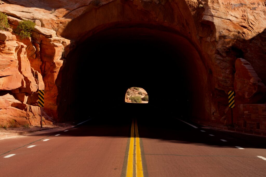
Entering the park from the east will require you to travel through the historic Zion-Mt. Carmel Tunnel, which was built in the 1930s. The tunnel is very narrow, so there are restrictions in place for your safety. Oversize vehicles will need to pass through when park rangers are present, generally 8 a.m. to 4:30 p.m. from spring to fall. If you’re visiting in a larger vehicle such as an RV, read more about accessing the park via the Zion-Mt. Carmel Tunnel.
Highway 89 (Zion to Bryce Canyon)
If you’re visiting Bryce Canyon National Park on the same trip, you’ll travel to/from Zion on Highway 89. This is another scenic route with very few amenities along the way.
What to Bring to Zion National Park
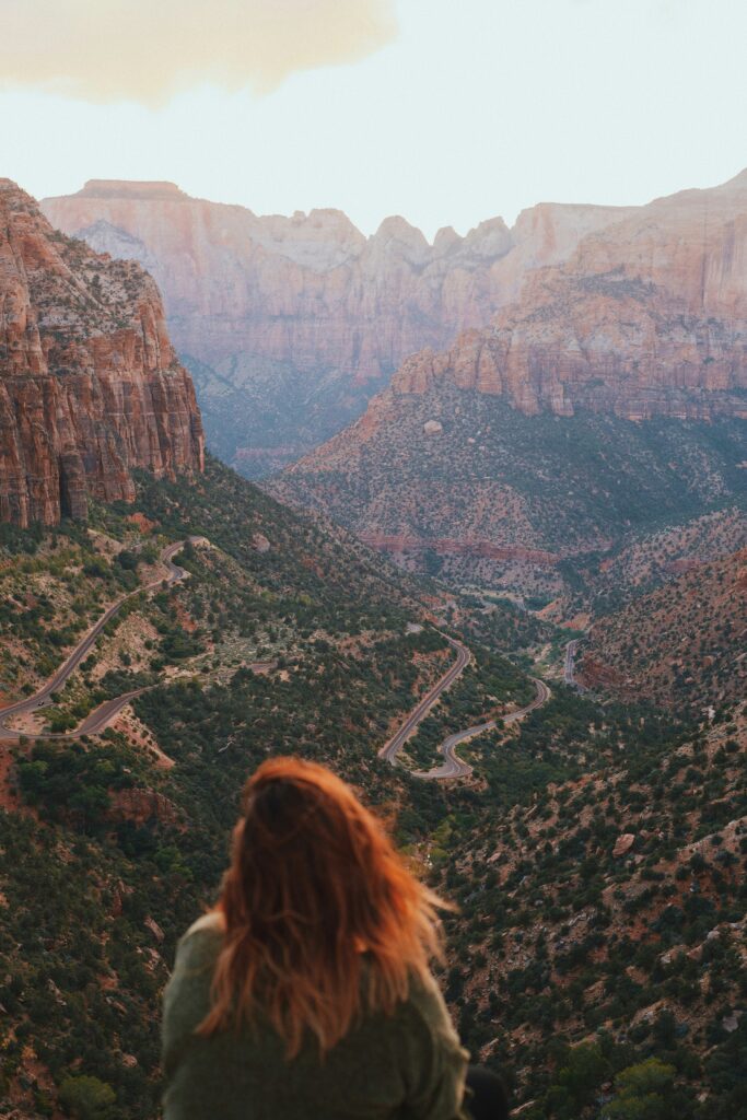
Zion National Park has no major stores or gas stations within its boundaries. Be prepared by packing everything you need in advance.
Make sure to pack plenty of water and food when hiking the canyons, especially during the summer months. You’ll also want to bring a hat for sun protection, sunglasses, layered clothing, and a first aid kit.
Reception can be spotty in the park, so I also recommend carrying a map with you.
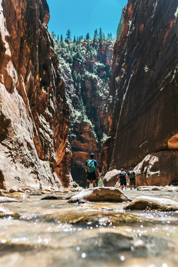
If you’ll be hiking near water, such as in the Narrows, I recommend bringing a dry bag and waterproof hiking boots.
In order to save money, I would recommend purchasing a national parks pass. These cost $80 and are valid for a full calendar year (from the date of purchase) at all public lands in the United States. After you visit 3 national parks, it’ll have paid for itself. It also makes a great gift for national park enthusiasts! Learn more about park entry fees.
There are a lot of books out there to help you plan your trip to Zion. I recommend the Fodor’s Guide to Utah, this Gone Beyond Guide that includes Grand Canyon and Mesa Verde national parks, and the Lonely Planet Guide to Zion and Bryce Canyon. I’d also recommend purchasing this waterproof, tearproof map bundle of the Utah National Parks.
Pin Closest Airports to Zion National Park
If this guide was helpful, feel free to pin it so you can refer to it later. Now that you know the closest airports to Zion, when are you going to visit? Let us know in the comments.